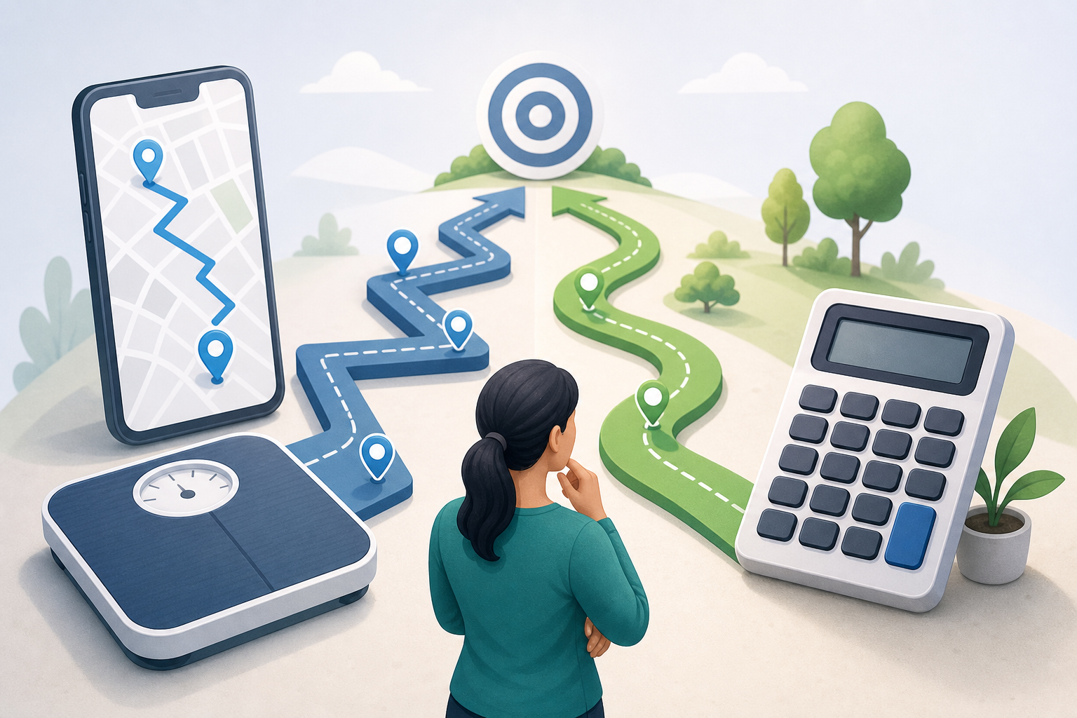
If you are wondering why your phone and walking distance calculator may show different results, the short answer is that they usually measure or estimate distance in different ways. A phone may use GPS, motion sensors, step detection or a combination of these, while a calculator converts steps to distance using an estimated step length. Neither result should automatically be treated as an exact measurement.
- Understanding why your phone and walking distance calculator may show different results
- How GPS, step detection and route tools measure distance
- GPS distance
- Step detection
- Route measurement
- A practical example of three different results
- What the walking distance calculator can and cannot tell you
- How to compare the results more fairly
- Frequently asked questions
- Is GPS always more accurate than steps to distance?
- Why does my phone show distance when GPS is turned off?
- Why are treadmill distance and phone distance different?
- Does walking faster change the calculator result?
- Why does my mapped route look shorter than my GPS track?
- Making sense of the difference
Understanding why your phone and walking distance calculator may show different results
A walking distance calculator starts with your step count and estimates how much ground those steps represent. The method generally applies a height-based step-length factor and then multiplies that estimated step length by the number of steps.
Your phone may take a different approach. Depending on the device, app, permissions and activity settings, it might calculate distance from GPS locations, infer it from detected steps, or combine several data sources. Two figures labelled “distance” may therefore be based on different inputs.
The basic step-based calculation is:
Estimated distance = number of steps × estimated step length
The arithmetic is straightforward, but step length is not fixed. It may change with walking speed, slopes, surface, footwear, fatigue, obstacles and natural differences in gait. A height-based factor is useful for a general estimate, but it cannot capture every walk.
How GPS, step detection and route tools measure distance
Understanding the method behind each result makes the difference easier to interpret. The main approaches are related, but they are not interchangeable.
| Method | Main input | What the result represents | Common source of variation |
|---|---|---|---|
| Step-based calculator | Steps, height and selected options | Estimated distance based on assumed step length | Your actual step length differs from the estimate |
| Phone GPS | Recorded location points | Estimated path travelled between those points | Weak signal, smoothing or inaccurate location points |
| Phone step tracking | Motion-sensor patterns | Detected steps, sometimes converted to distance | Missed steps or non-walking movement counted as steps |
| Mapped route | A line drawn along roads or paths | Planned distance along the selected route | The drawn line does not match the path actually taken |
GPS distance
GPS-enabled apps estimate your route from a sequence of location points. If the signal is clear and the points closely follow your path, the result may be a useful record of an outdoor walk. It is still an estimate rather than a tape-measured distance.
Tall buildings, trees, tunnels, indoor areas and limited location access can affect the recorded path. A poor location point may place you away from the route, adding distance, while aggressive smoothing may cut across bends and reduce distance.
GPS apps also differ in how often they record points and how they filter apparent errors. Battery-saving settings or background restrictions may cause gaps when the screen is off.
Step detection
Phones and wearable devices identify movement patterns that appear to be steps. Carrying position matters because a phone in a trouser pocket experiences different motion from one in a handbag, backpack or loose jacket.
Short, slow or irregular steps may be missed. In the other direction, repeated hand or body movements can sometimes be interpreted as steps even when little walking occurred. Pushing a shopping trolley or stroller may also change the motion available to a wrist-based tracker.
Route measurement
A route-planning tool measures the line shown on its map. It may follow the centre of a road or path rather than every small turn taken by the walker. Crossing a road, avoiding crowds, circling an obstacle or moving from side to side adds actual movement that may not appear in the planned route.
Route tools may also treat hills differently. A flat map distance mainly represents horizontal travel, whereas walking up and down slopes covers a slightly longer surface path.
A practical example of three different results
Consider a hypothetical walk for which a phone records 8,000 steps. A height-based steps-to-distance calculation estimates 6.0 kilometres, the phone’s GPS app reports 5.6 kilometres, and a mapped version of the route shows 5.3 kilometres.
These figures do not necessarily mean that two devices failed. The calculator assumes one average step length across all 8,000 steps. The GPS app reconstructs the route from location points, while the map measures the route as drawn.
The walker may have taken shorter steps on a crowded section, longer steps on an open path and small detours that were not included on the map. GPS smoothing could also have removed some bends. Each result answers a slightly different question:
- The calculator estimates how far the recorded steps could represent.
- The GPS app estimates where the phone travelled.
- The map reports the length of the selected route line.
Without a route measured independently, it may not be possible to identify one figure as the exact distance.
What the walking distance calculator can and cannot tell you
The walking distance calculator is designed to estimate walking distance from steps. It applies an estimated step length based on height and the sex-specific factor used by the tool, then multiplies that figure by the entered step count.
It can help with:
- converting a daily step total into an approximate distance;
- comparing step totals using a consistent calculation method;
- planning when GPS data are unavailable;
- viewing results in kilometres or miles, depending on the available settings.
It cannot determine the exact route you walked or directly observe your gait. It does not know whether your steps were taken quickly, slowly, uphill, indoors or over uneven ground.
It also cannot correct an inaccurate step count. If a phone misses steps or records extra movement as steps, the walking distance from steps will carry that error into the final estimate.
A result based on height is therefore best understood as an approximation. Even people of the same height can have different average step lengths, and the same person’s step length can vary from one walk to another.
How to compare the results more fairly
Start by checking what each app is actually displaying. One figure may be GPS distance for a single recorded workout, while another may be distance inferred from all steps accumulated during the day. Those periods are not directly comparable.
- Match the time period. Compare steps and GPS distance from the same start and finish times.
- Check location access. If using GPS, confirm that the app had permission to record location throughout the walk and was not restricted in the background.
- Use a consistent carrying position. Keeping the phone in the same pocket or holder can make step comparisons more consistent.
- Review the recorded route. Sudden jumps, straight lines through buildings or missing sections suggest that location data were incomplete.
- Compare repeated walks. One unusual result may reflect temporary conditions. Repeating a familiar route can show whether the difference is consistent.
- Use a known route for personal calibration. If you have access to a reliably measured path, divide its distance by your steps to estimate your average step length for that type of walk.
For example, if a measured 4-kilometre route takes 6,000 steps, the average step length for that walk is approximately 0.67 metres. That personal value may be more representative than a height-based assumption, although it can still change with pace and terrain.
Do not expect perfect agreement after calibration. GPS variation, changing gait and step-count differences can still produce a gap.
Frequently asked questions
Is GPS always more accurate than steps to distance?
No. GPS uses information about the route actually travelled, but poor location reception or data filtering can distort it. A steps-to-distance estimate may be more consistent in places where GPS is weak, but its accuracy depends on the step count and assumed step length.
Why does my phone show distance when GPS is turned off?
Some phones estimate distance from detected steps and a stored or inferred step length. The precise method depends on the device and app, so the displayed distance may not represent a GPS-recorded route.
Why are treadmill distance and phone distance different?
A treadmill estimates distance from belt movement, while a phone usually relies on detected motion or steps. Holding the treadmill rails, placing the phone on the console or changing your stride can lead to different results. Treadmill calibration can also affect its displayed figure.
Does walking faster change the calculator result?
The calculator result will not change if you enter the same height and step count because it applies the same assumed step length. In real walking, however, pace can change step length, so the actual distance represented by those steps may differ.
Why does my mapped route look shorter than my GPS track?
The map may follow a simplified line, while the GPS track may include road crossings, detours and movement around obstacles. Inaccurate GPS points can also make the recorded track appear longer by adding small side-to-side movements.
Making sense of the difference
The key to understanding why your phone and walking distance calculator may show different results is to identify which value is measured indirectly and which assumptions are being used. GPS estimates movement from location points, step trackers detect motion, route planners measure drawn lines, and calculators convert steps using an estimated step length.
Use each result according to its purpose and label it appropriately as an estimate. For day-to-day comparisons, a consistent method is often more informative than switching between devices or treating small differences as proof that one result must be wrong.